09:10
09:10 But as bad as it sounds, we actually enjoy the trek – Sun is out, we have nice views and locals are friendly.
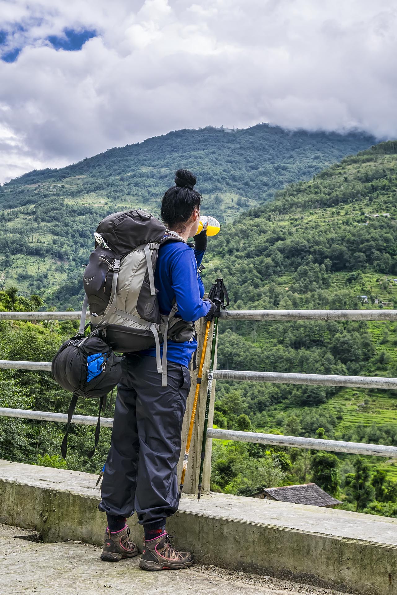
We wake up early, my shoulders are swollen and hurting so bad – The 15kg backpack is setup wrong. Will do a lot of adjustments for our backpacks, because we wont survive it like this. On the good note, the weather is just perfect this morning, still cloudy but no rain – You could say a bit cold even, because of the high elevation.
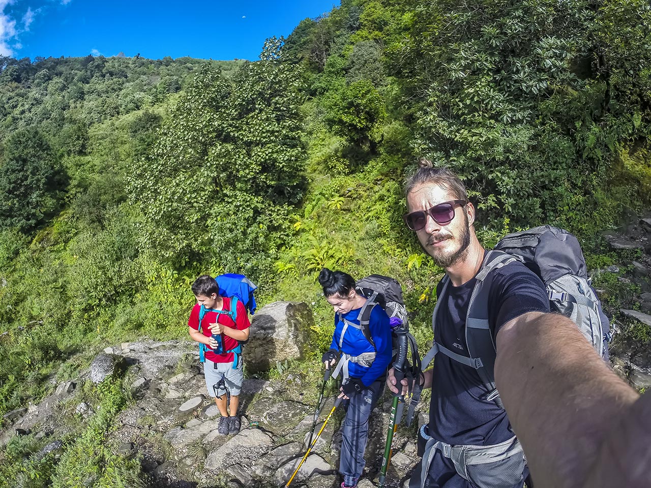
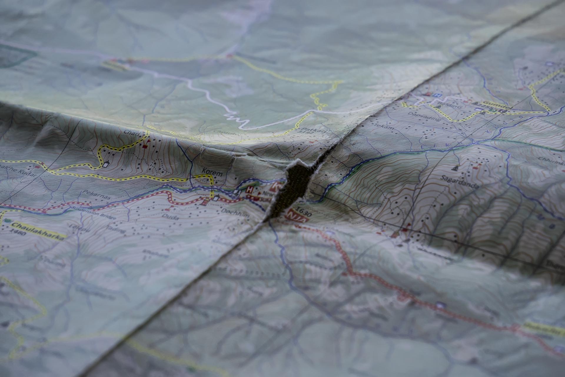
Without any certain plan, we start moving – We just want to get as far as possible. We are quite optimistic, because looking at the map, it seems like most of the way today is downhill. But this optimism soon replaces with survival mode. Steep and slippery slopes (from yesterdays rain), where all of us put our butts in the mud, luckily without injuries. Veronica lost his rain cover somwehere on the descent. I actually did not want to get walking poles, but couldn’t imagine moving without them anymore. They help to take a lot of stress off from our already hurting knees (Veronicas knees are especially bad).
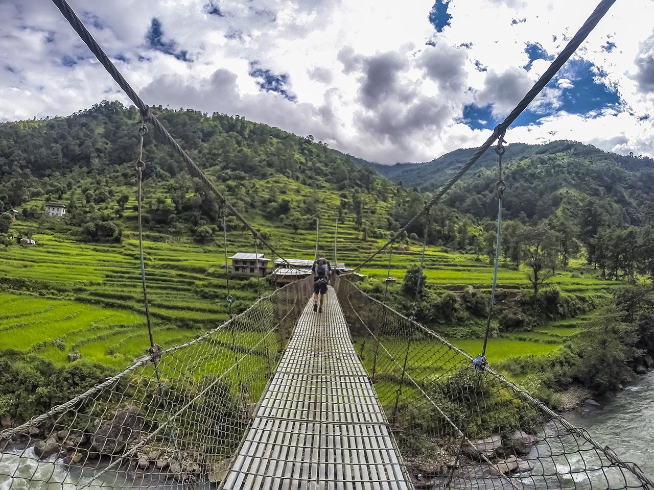
But as bad as it sounds, we actually enjoy the trek – Sun is out, we have nice views and locals are friendly. Finding your way around all the unmarked roads is pretty complicated, even with the maps – But the people always point you to right direction.
Half way down I feel kind of weak – This means, its time to have a quick snack break, get those sugars and carbs to fuel our body. Veronica is having her first blisters and not a tiny little ones, huge and nasty ones – but she is a strong woman (mini põkk :D) and pushes through with ease. On the other hand I a have this tiny little blister since Kathmandu, that constantly needs a new band aid – Im not that though.
We made a little miscalculation, so there is no place to eat at the lunch time. We make a very pleasant stop beside the icy cold river. Dipping our swollen feet inside is a blessing, just what we needed to push forward.
And no leeches today! Well we see few of them on the road now a then, but are able to avoid these nasty little suckers.
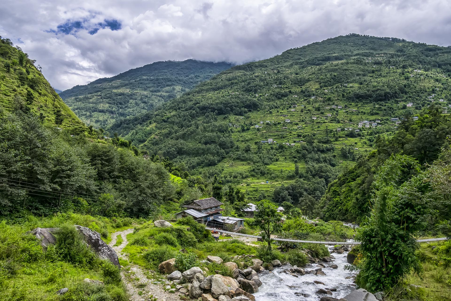
Traditional Himalayan village
Maybe the owner stalled deliberately, so we would stay there and bring him some money, or possibly I’m just being paranoid.
Finally we are able to have late lunch, I am already very hangry (not nice to be around me, as Veronica and Pavel can confirm). Dam, we waited our food for about 2 hours, and we wanted to move ahead, but clock was already past three. Maybe the owner stalled deliberately, so we would stay there and bring him some money, or possibly I’m just being paranoid. Anyway we knew, that the road ahead will be very long and steep ascent again and decided to settle down for night.
Our room was tiny, but sufficient. And we had one electricity socket inside our room – This is unusual, as electricity is expensive up there, far from civilization. We payed 100 ruipiah or 0.8€ for the room, with three beds. And this place had western standards bathroom (or something like that), so nice sink and toilet bowl, not just a hole in the ground.
We spent evening talking about life and enjoying the moment – bust we were sure tired, as we fell asleep around 8-9 in the evening. And my shoulders were still badly swollen, putting on some tiger palm felt like heaven.
Stats for the day:
100% rain free and mostly sunny8 hours of walking
About 12km of map distance
20.6km equivalent flat distance *
not much of ascents
1075m of descents
More than one nasty blisters and one hangry Tom (hangry = hungry + angry)
Total stats
17 hours of walkingAbout 26km of map distance
47km equivalent flat distance *
1120m of ascents
1505m of descents
* Using Naismith’s rule, I calulated the actual distance of the trak, taking into consideration the elevation gain.