08:44
08:44 All the books were not lying, the road from Jiri to Namche is one really though trekking route.
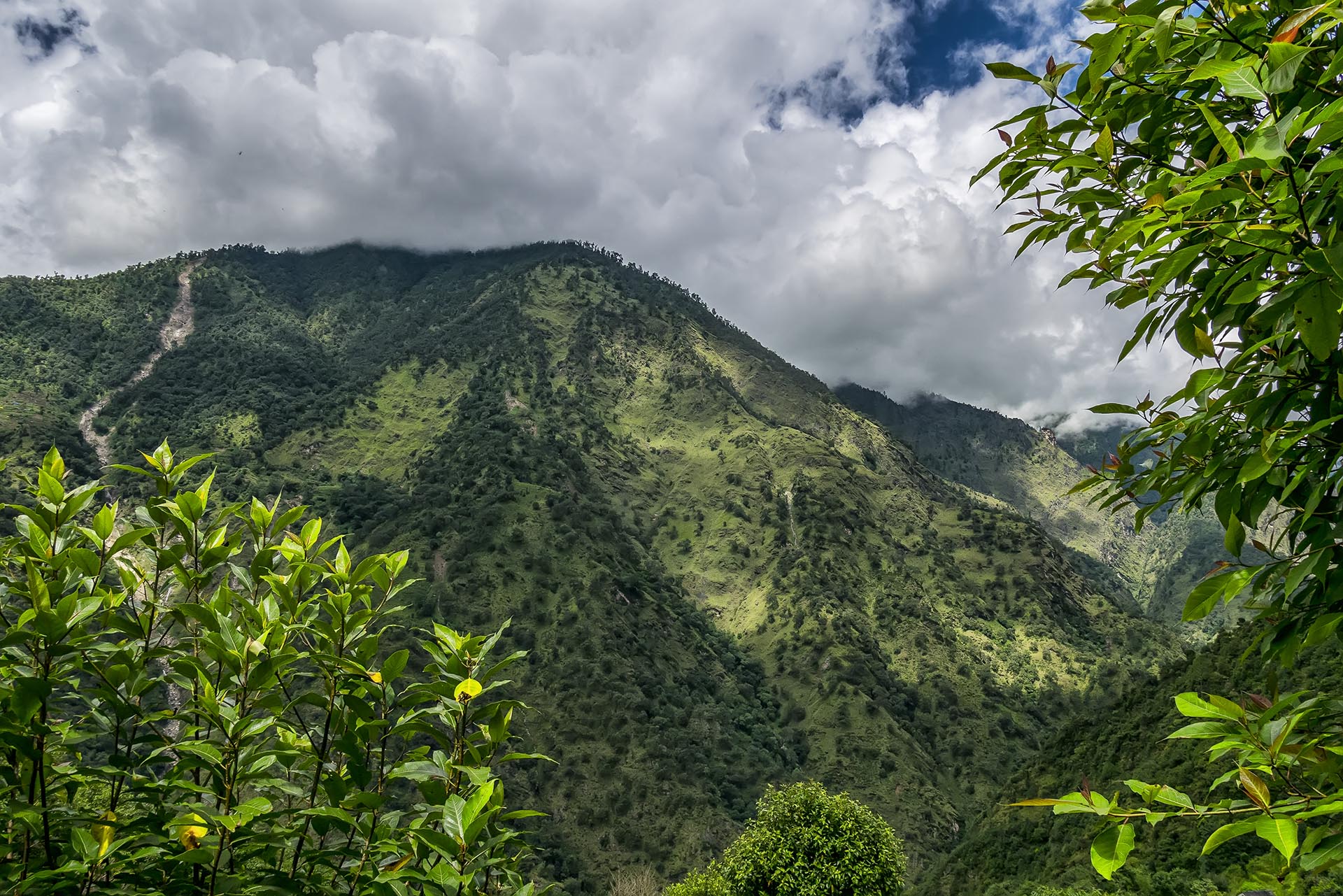
Sun is shining, birds are singing and snow covered mountain tops stand proudly in the blue skies. Today is important day, marking a turning point, where we actually start moving North into Himalayas and towards Mt. Everest. So far we had been moving east, right beside the Himalays range. All this makes more and more exited, but there is still long, very long way to go 🙂
We are feeling a lot better now, although Pavel has very runny nose, my throat still needs healing and Veronica is just perfect. We look at the map, bummer, we have to descent again to 1500m (which is almost the same as the elevation of Kathmandu at 1400m and 500m less, than our starting point Jiri). We’ve broke a lot of sweat to climb and then to descend again, making the previous achievement almost insignificant. All the books were not lying, the road from Jiri to Namche is one really though trekking route.
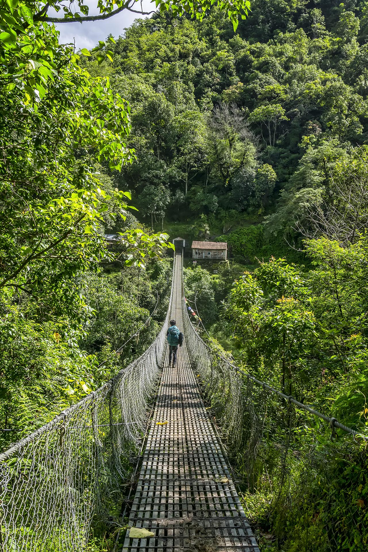
Today we don’t have much interest points on our way. There is a 109m hanging bridge marked on the map, at the lowest point of the trek. It is cool, but it does not look like 109m, maybe map typo?
After a very steep and muddy descent, right after the hanging bridge, we start to climb again. Its like a daily routine now – eat, descend, ascend, sleep 🙂 but we are getting more and more used to it. Although it never gets easy, you will definitely develop muscle memory, making it easier.
We planned to get further today, but our little nice lunch took so long. That is and sad and weird story all together. Long story short. Lady already finished making our food and then her husband dropped it all on the nasty dirty floor. So they had a small family fued – lady spanked him with a stick, then both of them were crying. Kind of sad to see actually. When finally our lunch arrived, I guess some if it was just picked up from the floor. Tibetian bread had nice sandy taste to it, a bit crunchy to say the least.
Donkey highway
Everything is possible, I was thinking, I shall conquer the top of the world one day.
By the time, we reached the top, it started drizzling, again. And soon it turned to heavy drizzling. Everything gets so much more slippery and difficult, when rainy. So by about 16.00 we got to Bupsa, another beautiful teahouse village. Looked through some lodges and chose one that looked like a winner.
They made me almost double sized meal for the price of one – Just because I said, that I’m starving. Thats the spirit and how you should treat your guests.
There was already a spain couple there and hour after our arrival a Israelian couple arrived, whom we had met briefly in Nunthala. Another evening, where for some reason everybody was talking about politics – ****, if you ask me…
Our host, the head of the family, mister whos name I doesnt remember, was a true inspiration to me. This guy has not only once, but twice climbed Mount Everest, making it to the top about 3 hours short of the objective. Everything is possible, I was thinking, I shall conquer the top of the world one day.
Our room was small, but comfy. The only issue was the huge spider, size of a palm, who was relaxing right on top of Pavels bed. I truly belive that you shouldn’t harm or kill any animal, insect or even flower, if it’s not a necessity. But who would like a huge spider right on top of their bed? Unfortunately they had to get rid of the spider and duck tape the hole, where the spider had possibly entered our crib. No more spiders were seen that night!
Stats for the day:
80% sunny, 20% cloudy and 15% rainy8 hours of walking
About 9km of map distance
22km equivalent flat distance *
960m of ascents
800m of descents
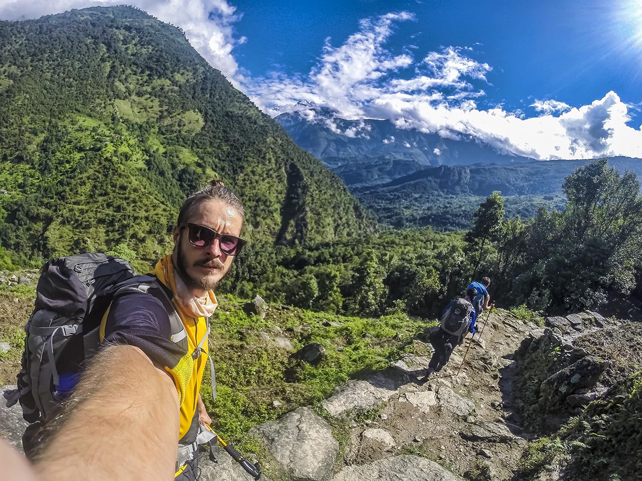
We are finally heading directly toward Mt. Everest!
Total stats
46 hours of walkingAbout 64.5km of map distance
140km equivalent flat distance *
4920m of ascents
4590m of descents
* Using Naismith’s rule, I calulated the actual distance of the trak, taking into consideration the elevation gain.